
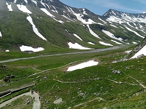
Mountain hutIT
2,195 m
©Rifugio Elisabetta Soldini
Val Veny (Lée Blanche) · TMB km 49.9
A large stone refuge of the CAI Milano perched on a rocky spur at the foot of the Lée Blanche Glacier, about an hour's…
All 154 huts and places to stay, the 11 stages with elevation profiles and GPX tracks, and itineraries from 3 to 14 days along the 166 km loop. Checked for the 2027 season.
Stages, huts, itineraries, budget, bookings: every piece of information is checked, dated and sourced.
75,000 to 90,000 hikers every summer. More than double 2019.
Huts fully booked as early as winter, the Croix du Bonhomme closed until 2029, wild camping rules getting stricter.
In 2027, a successful TMB is planned early — and well informed.
What changes in 2027Anticlockwise from Les Houches
Distances and ascent calculated on the official waymarked route and a 25 m terrain model.
 1
Les Houches Les Contamines-Montjoie
 2
Les Contamines-Montjoie Les Chapieux
 3
Les Chapieux Rifugio Elisabetta
 4
Rifugio Elisabetta Courmayeur
 5
Courmayeur Rifugio Bonatti
 6
Rifugio Bonatti La Fouly
 7
La Fouly Champex-Lac
 8
Champex-Lac Trient
 9
Trient Tré-le-Champ
 10
Tré-le-Champ La Flégère
 11
La Flégère Les Houches
The most sought-after on the route: book them first, as soon as bookings open.
2,195 m
©Val Veny (Lée Blanche) · TMB km 49.9
A large stone refuge of the CAI Milano perched on a rocky spur at the foot of the Lée Blanche Glacier, about an hour's…
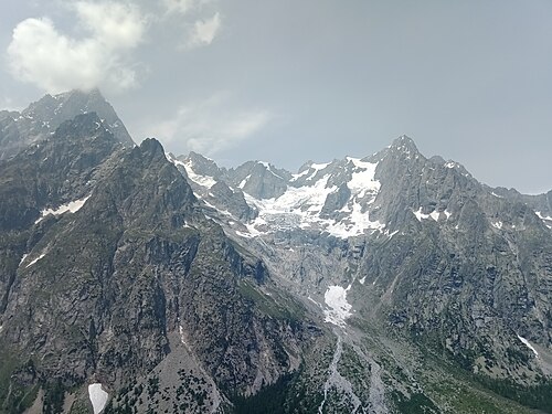
2,025 m
©Malatrà (Val Ferret) · TMB km 77.7
A stone and wood refuge inaugurated on 1 August 1998 and dedicated to the mountaineer Walter Bonatti, set in the…
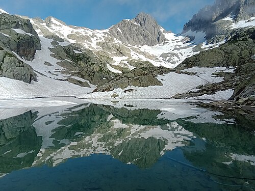
2,352 m
©Lac Blanc · TMB km 146.1
The most photographed hut in the massif: perched at 2,352 m on the shore of Lac Blanc, facing the Aiguille Verte, the…
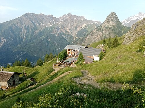
1,989 m
©Mont de la Saxe (Le Pré) · TMB km 70.2
A private refuge built in 1982 in memory of the guide Giorgio Bertone, on a shelf of the Mont de la Saxe at nearly…
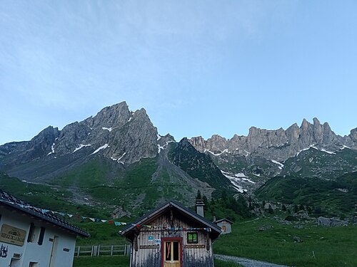
1,706 m
©La Balme · TMB km 24.8
A refuge run by the same family for three generations, at the foot of the Aiguille de la Pennaz, in the heart of the…
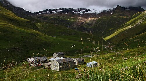
1,864 m
©SurroundingsLes Mottets (Vallée des Glaciers) · TMB km 42.1
A former alpine pasture farm at the head of the Vallée des Glaciers, converted into a refuge in the late 1960s and…
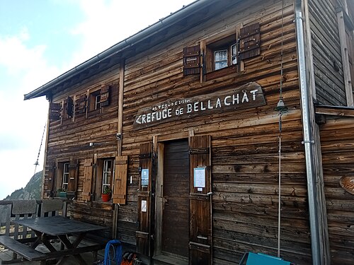
2,152 m
©Bellachat (below the Brévent) · TMB km 159
A small wooden hut perched at 2,152 m below the Brévent, with one of the finest head-on views of Mont Blanc and the…
1,627 m
Val d'Arpette (Champex d'Arpette) · TMB km 113.9
A large mountain inn at the entrance to the Val d'Arpette, half an hour's walk from Champex along the bisse, at the…
Day-by-day plans with the distance, the ascent and where to sleep each night.
Intermediate · anticlockwise
11days
166 km · 9,440 m ascent
Easy-going · anticlockwise
14days
168 km · 9,710 m ascent
Easy-going · anticlockwise
12days
166 km · 9,430 m ascent
Challenging · anticlockwise
10days
166 km · 9,450 m ascent
Challenging · anticlockwise
9days
166 km · 9,430 m ascent
Very challenging · anticlockwise
8days
166 km · 9,430 m ascent
Find a bed for every night, from village gîtes to huts facing the glaciers.